3 Ways Satellites will Completely Transform Insurance
Estimated reading time: 5 minutes
Table of contents
As digital transformation takes over the world, no one wants to be left behind, including the insurance sector. We have already seen how this sector keeps up with customers’ needs by using personalized services, predictive lead scoring, and other disruptive technologies. Their main goal is to obtain as much customer data as possible for assessing risk and making better policy decisions.
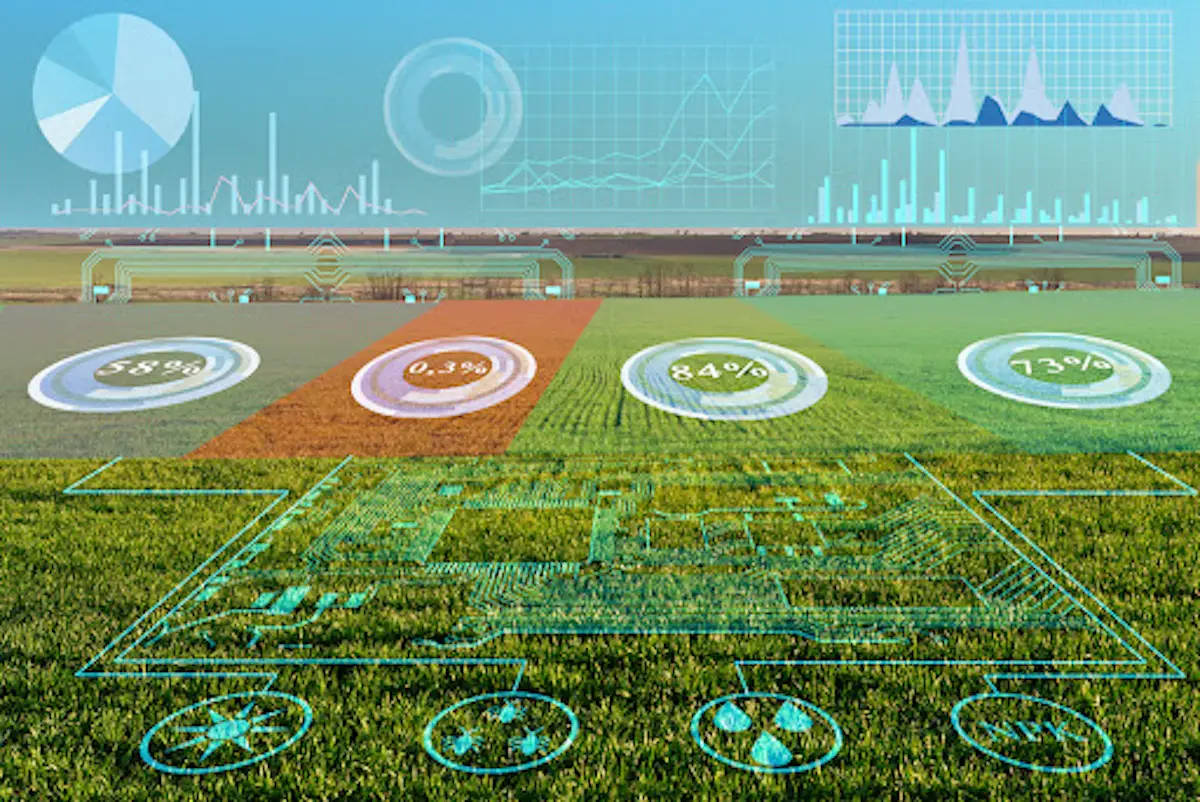
Nowadays, one of the main ways to get and process big data is through the use of satellites. Data is collected by satellite sensors and processed in-ground stations using sophisticated technologies like machine learning. All of this gives the farmer and the insurer benefits by making better decisions. Now let us take a closer look at some of the benefits:
Crop Damage Assessment
Every farmer’s wish is to avoid any disaster that will damage their crops. However, there needs to be a way to do a crop damage assessment when it happens. Most of the damage can be caused by untimely heavy rains or storms that will destroy the crops. So, the extent of the destruction can be measured using pre and post satellite images of the field. Information about the damage can also be gotten from local authorities, which is then compared with what the satellite images show.
This will help the expert to better understand the severity of the damage. Also, a geo-referenced cadastral map can be overlaid on the satellite image to know how the disaster affected other surrounding structures and help authorities develop a compensation plan.
SEE ALSO: My Real Life Experience Filing SquareTrade Claim
The Role of Satellite Monitoring in Crop Insurance
Crop insurance has been a challenge for both farmers and insurance companies. This is because when farmers notice that their crops are dying due to droughts or other reasons, they will have to call for the representatives of their insurance company to assess the situation or wait for the crops to die before they can get a payout.
This process is very time-consuming, and the farmers may not trust the assessment of the insurers. However, with satellite technology, farmers can get a faster payout and have the means to save their crops from dying. Satellite monitors the field and provides accurate indices which can be used to determine the state of the soil and crops. The data can be presented to the insurance companies for payments.
With the help of tools such as EOS Crop Monitoring Software, it is possible to keep track of many different paraments that may indicate crop damage. It provides farmers with a satellite view of all their fields, and they can measure up to six indices that represent crops’ health.
Also, farm owners have access to maps of the vegetation and productivity of their fields. They will be able to detect weeds, pests, irrigation, and fertilization issues that can affect yield before irreversible damage is done. With historical weather data since 2008 and a 14-day forecast, farmers are able to plan well ahead of time.
What Is Crop Insurance? And, What Is Common Crop Disaster Insurance Claims?
Farmers work hard to produce good crops. It is a passion but also a business. There are lots of decisions to make, such as land use, labor issues, and equipment upkeep, but there are some events that the grower can’t control. Some of these events are weather, disease, and wildlife. Even when a farmer follows the best practices, there are always natural events that can destroy the crops.
Crop insurance is designed to support the farmers financially when their crops are damaged beyond their control. It works as a safety net to help growers make it through a bad year. Here as some of the common insurance claims for crop disasters:
- Destruction of the farm due to local disasters like landslides and downpours
- When the crops do not germinate due to natural causes like lack of rainfall
- Loss of crops to unavoidable disasters like hail and floods
- The insurance will also cover post-harvest losses that occur two weeks after the harvest date.
SEE ALSO: Strategies for Successful Freelancing
Insurance of Natural Disasters and Severe Weather Phenomena
Insurance came as a result of the many natural and unavoidable disasters that led to the loss of property. So, they pick up the cost and replace all the damages done by the disaster for those who are insured. However, they need to first effectively access the damage and identify any fraudulent customer claims. The FBI suggests that to claim an amount of $20,000, farmers will need to spend about $2,000 for the claims adjuster.
However, technologies like AI and predictive analysis have come to make things easier for both insurers and clients. Using satellite images, these technologies can accurately quantify and verify the amount of damage done. They are also used for property and risk assessment.
With satellite imagery, insurers can also compare the images before and after the damage. This gives them a clearer picture of properties and the extent of the damage. With this knowledge, they are able to come up with policies and determine the appropriate compensation for the loss of assets.
With the presence of technologies like AI, insurers are able to get almost real-time and historical satellite images to make sense of how things are changing over time. This will help them assess the risk of individual properties and the amount of damage done in cases of disasters.